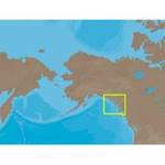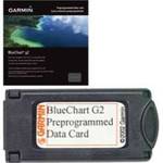
010-C0760-10 Bluechart G2 HEU001REnglish Channel D
Model: 010-C0760-10
Brand: Garmin
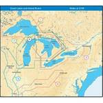
British coast: covers from Felixstowe to the Isles of Scilly, including Dover, The Solent, and the Isle of Wight. Also covers the River Thames from Twickenham to the North Sea. French coast: covers from Dunkerque to L\'Aber Wrac\'h, including Rouen and the Channel Islands. See your surroundings more clearly with BlueChart g2 data. With BlueChart g2, you\'ll get detailed marine cartography that provides convenient viewing of nautical content. BlueChart g2 allows you to see your vessel\'s precise, on-chart position in relation to naviads, coastal features, anchorages, obstructions, waterways, restricted areas and more. You will also have access to detailed mapping capabilities that include Safety Shading , Fishing Charts , smooth data transition between zoom levels, harmonious transition across chart borders, and reduction of chart discontinuities. « less
Product Specifications –
- GTIN : 00753759091439
- Part Numbers : 010-C0760-10, 10804748, 35593