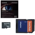
010-C1025-10 Bluechart G2 HEU718LMediterranean Sea
Model: 010-C1025-10
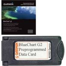
Brand: Garmin
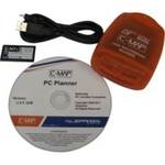
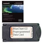
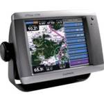
See your surroundings more clearly with BlueChart g2 data. With BlueChart g2, you\'ll get detailed marine cartography that provides convenient viewing of nautical content. BlueChart g2 allows you to see your vessel\'s precise, on-chart position in relation to naviads, coastal features, anchorages, obstructions, waterways, restricted areas and more. You will also have access to detailed mapping capabilities that include Safety Shading, Fishing Charts, smooth data transition between zoom levels, harmonious transition across chart borders, and reduction of chart discontinuities. Covers: Detailed offshore coastal coverage of the Mediterranean Sea in its entirety. Coverage features the Strait of Gibraltar, the Balearic Islands, the French Riviera, Corsica, Sardinia, Sicily, the Adriatic Sea, the Greek Islands, the Aegean Sea, the Dardanelles and Bosporus Straits, the Sea of Marmara, Cyprus, the Suez Canal, Tripoli and Algiers Harbors, and the Gulfs of Gabes and Tunisia. « less
Product Specifications –
- GTIN : 00753759096243
- Part Numbers : 010-C1025-10, 10807287, 35821